|
Jump to Bottom You're at the top! Eastern and Western Liang mountain is located in Tanjung Malim, Perak. Tanjung Malim is about 120 km from Kuala Lumpur and 300 km from Penang. Mount Liang Timur and West less known but is easy to climb the mountain. There are two ascent routes, one from Kampung Sungai Bill, and another starting from Kampung Sungai Dara. The Trek:Height : 6343 feets ( 1933 meters) Location : Behrang (Perak) Usually it takes 5 hours to 7 hours ascent and 4 hours to 6 hours descent Distance : about 9.4 KM GPS Coordinate : N3.80246 E101.59182 Getting there:From North South Highway Exist Behrang Toll Turn right onto Route 1 (Behrang Police Station shall on your left) Turn right onto Route A124 (Just after the Police Station) Turn left at T juction turn onto ROute A121 Turn right at Kampung Sungai Dara The trail head at the end of the road (N3.79829 E101.52099) 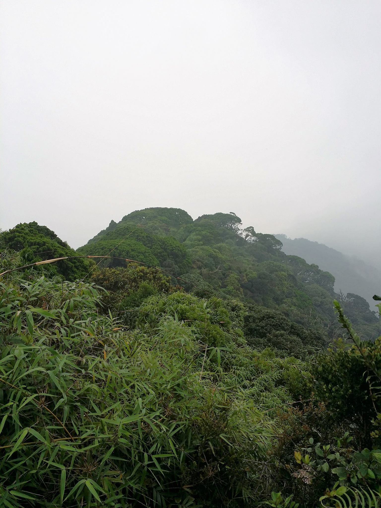 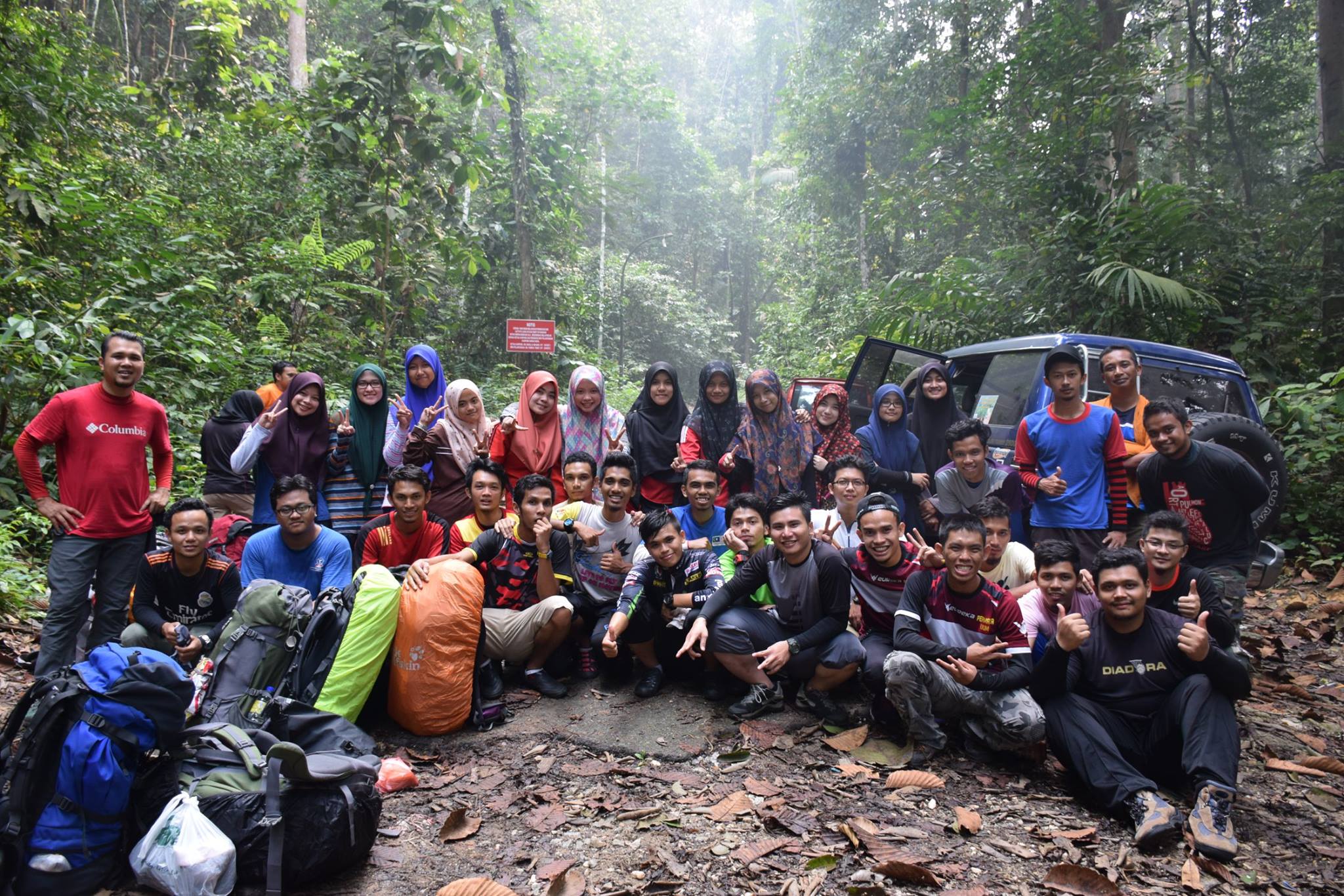 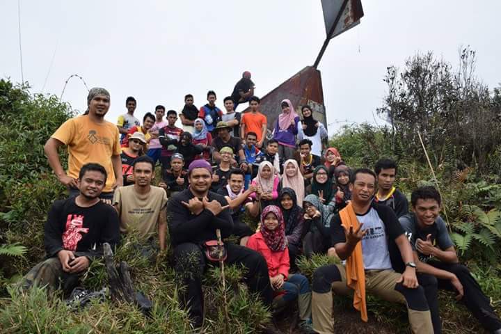 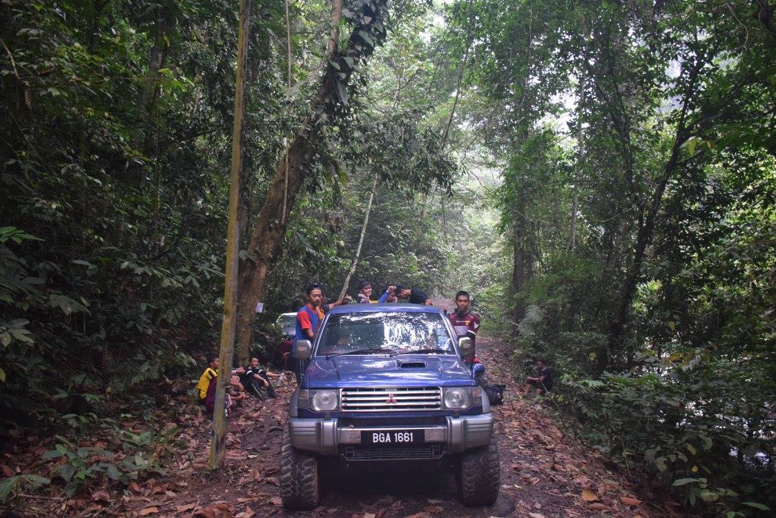 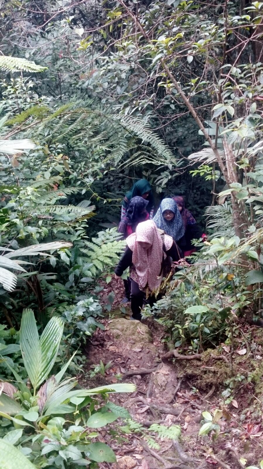  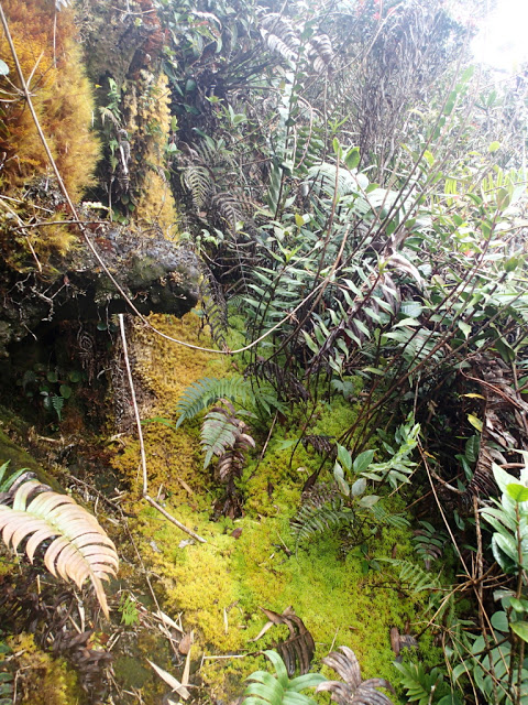 You're at the bottom! Jump to Top |